When a neighbour’s claim overlaps your island parcel, the first task is to create a legally recognised boundary line. On islands, where fences are rare and historic plans may be vague, that line is built from a blend of modern survey data, old maps, physical markers and, where necessary, mediated or judicial settlement.
The practical consequence is that you will likely need to commission a professional survey, gather historic documentation, and engage with the neighbour through discussion or mediation before any court action. Skipping these steps can lead to prolonged delays, loss of access to valuable shoreline and the risk of an enforced adjustment of your title.
What a boundary dispute actually means on an island
A boundary dispute arises when two parties assert ownership over the same parcel of land. On islands the conflict often centres on shoreline rights, foreshore ownership or the exact line between two plots that were originally described only in narrative terms. Because many islands lack a dense cadastral grid, legal descriptions rely on metes-and-bounds language such as “from the prominent granite outcrop due east to the high-water mark”. Understanding how that description translates onto the ground is the core of the dispute.
How island land boundaries are surveyed
Surveyors combine several techniques to produce a reliable plan. The process begins with a desk study of titles, deeds and any historic nautical charts. Field work then records:
- Existing benchmarks or permanent markers.
- Natural features referenced in the title – rocks, trees, cliffs or reef edges.
- Precise coordinates of the proposed line using GPS, total stations or drone photogrammetry where vegetation is dense.
The final product – a survey of boundaries – is lodged with the local land registry. Accuracy expectations differ between jurisdictions; some accept sub-metre GPS accuracy, others still require traditional triangulation. Verify the required standard with the relevant authority.
Boundary markers and adverse possession claims
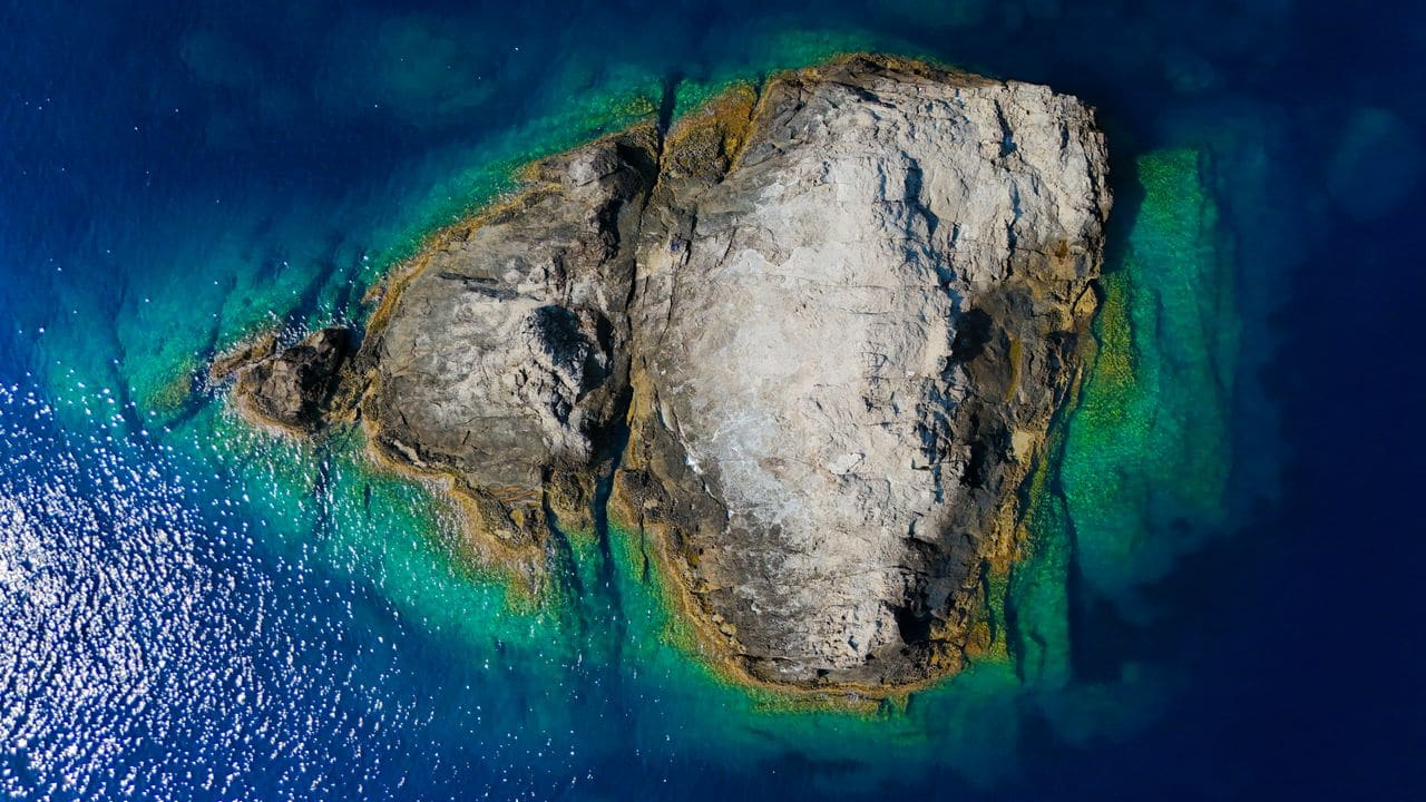
Physical markers such as concrete pillars, metal rods or large stones are common where fencing is impractical. However, markers can be moved by storms, erosion or deliberate tampering. An adverse possession claim arises when a neighbour has used a portion of land for a long period, for example a dock built on the foreshore for many years. Courts weigh documentary evidence against the length and openness of the neighbour’s use, applying statutory limitation periods that vary locally. Always corroborate any marker with survey data and historic documentation.
Resolving a dispute with a neighbour
Resolution usually follows a graduated path:
- Informal discussion – exchange titles, survey drafts and historic plans.
- Mediation – a neutral facilitator helps both parties agree on a revised line.
- Arbitration – a binding decision by an appointed expert, often less costly than court.
- Litigation – a formal claim in the appropriate land court, presenting the survey, historic plans and any adverse possession evidence.
Early mediation is frequently the most efficient route, preserving relationships and avoiding public proceedings.
The role of historic plans and cadastral records
Many islands were first mapped by colonial administrations using rudimentary tools. Those plans remain legally relevant but must be interpreted alongside modern surveys. A typical approach overlays the historic map on a current GIS layer, highlighting discrepancies and noting natural changes such as erosion or accretion that have altered the shoreline since the original drawing.
Practical steps from survey to settlement
The following checklist moves a dispute from field work to a final, enforceable agreement:
| Step | Action | Responsible Party |
|---|---|---|
| 1 | Collect titles, deeds and any historic plans | Owner |
| 2 | Appoint a licensed land surveyor experienced with island terrain | Owner |
| 3 | Conduct field survey and produce a boundary plan | Surveyor |
| 4 | Submit the plan to the local land registry for provisional acceptance | Surveyor/Owner |
| 5 | Share the provisional plan with the neighbour and request feedback | Owner |
| 6 | If disagreement persists, initiate mediation or arbitration | Both parties |
| 7 | Finalise the agreed line and update the official register | Land registry |
Each step may involve fees that vary by jurisdiction and terrain complexity; obtain quotes from local professionals before proceeding.
Common mistakes to avoid
- Relying solely on old maps – they often ignore recent erosion, land reclamation or natural accretion.
- Treating a marker as conclusive – markers can be displaced; always verify with survey coordinates.
- Skipping mediation – courts may view parties who refused alternative dispute resolution less favourably.
- Neglecting the foreshore – many jurisdictions treat the area between high and low water marks as a separate statutory regime.
- Overlooking local customs – in some regions customary use influences legal outcomes even when not recorded on a plan.
Understanding How Island Land Boundaries Are Surveyed
Surveying an island differs from mainland work because of tidal influences, vegetation cover and the absence of fixed reference points. A qualified land surveyor will begin with a coastal reconnaissance, using GPS-enabled total stations to capture the shoreline at mean sea level. They then establish a datum that reflects the island’s highest astronomical tide, ensuring that the boundary line remains consistent regardless of seasonal water changes.
The surveyor will also take inland measurements to locate any historic monuments, cairns or natural features that have been used as informal markers. These are cross-checked against the island’s title deed and any previous survey plans. Modern drones can supplement ground work, providing high-resolution orthophotos that help resolve ambiguities where the shoreline is irregular or eroding.
Finally, the surveyor produces a plan of subdivision that shows the exact boundary lines, bearing, distance and any easements. This plan must be lodged with the relevant land registry or cadastral authority for it to become legally enforceable.
Common Mistakes That Lead to Boundary Disputes
One frequent error is assuming that a visible marker, such as a fence post or a tree, automatically defines the legal boundary. In many jurisdictions, only a surveyed line that is formally registered carries legal weight. Relying on informal markers can create adverse possession claims if a neighbour occupies the land for an extended period.
Another pitfall is neglecting to account for coastal erosion or accretion. Boundaries that follow the high-water mark can shift over time, and failure to update the survey after significant shoreline change may result in overlapping claims.
Lastly, owners often overlook the importance of written agreements when neighbours share access routes or utility lines. Verbal understandings are difficult to enforce, especially if the island changes hands. Documenting rights of way, drainage easements and any shared facilities in a deed of covenant prevents future contention.
Cost Drivers in Resolving an Island Boundary Dispute
The primary cost factor is the complexity of the survey. Remote islands may require chartered vessels, specialised equipment and longer field days, all of which increase fees. In jurisdictions where the land registry imposes high filing charges, those expenses also add up.
Legal costs depend on the dispute’s scope. Simple negotiations mediated by a solicitor are cheaper than full-scale litigation, which can involve expert witnesses, multiple site inspections and possibly appeals to higher courts.
If the dispute involves adverse possession claims, the cost rises further because the claimant must provide evidence of continuous, open and notorious use for the statutory period, which varies by jurisdiction. Gathering that evidence often requires additional surveys and historical research.
Questions to Put to Your Lawyer or Surveyor
- Which datum does the local land registry use for coastal boundaries, and how does that affect the surveyed line?
- Are there any historic easements or rights of way that have not been registered but could be enforceable?
- How does the jurisdiction treat shoreline movement – does the boundary move with the waterline or remain fixed?
- What documentation is required to prove adverse possession, should a neighbour claim it?
- Can a boundary be adjusted by agreement without a formal re-survey, and what are the implications for title registration?
These questions help focus the professional’s advice and avoid unnecessary work.
Practical Checklist Before Initiating a Boundary Resolution
- Gather existing documentation – title deeds, previous survey plans, historic maps and any written agreements with neighbours.
- Identify all physical markers on the island – cairns, fences, trees, and note their condition and location.
- Commission a current survey – ensure the surveyor uses the correct datum and includes coastal change analysis.
- Confirm jurisdictional rules – understand how the local land registry treats shoreline movement and adverse claims.
- Engage a solicitor early – discuss potential easements, rights of way and the cost implications of different dispute-resolution routes.
- Record any occupancy history – dates, nature of use and any improvements made by neighbours, to anticipate adverse possession arguments.
- Agree on a resolution method – mediation, arbitration or court, and set a timeline for each stage.
Following this checklist streamlines the process and reduces the risk of unexpected expenses or legal setbacks.
Mitigating Future Boundary Issues on Island Properties
After a dispute is resolved, maintain an up-to-date survey whenever significant coastal change is observed. Regularly inspect and, if necessary, replace boundary markers to keep them visible and in good condition.
Register any new agreements, such as shared dock usage or utility easements, with the land registry promptly. Written, signed documents provide a clear record that can be referenced in future transactions.
Consider obtaining a title insurance policy that covers boundary disputes. While premiums vary, such policies can protect against unforeseen claims and provide access to legal resources.
Finally, foster a cooperative relationship with neighbouring island owners. Open communication about maintenance, access and development plans reduces the likelihood of misunderstandings escalating into formal disputes. A collaborative approach often proves more cost-effective than adversarial litigation.
Frequently asked questions
How accurate must a GPS survey be for an island boundary?
Registries typically require sub-metre precision for coastal lines and higher precision for inland points. Confirm the exact requirement with the local land authority.
Can a neighbour claim ownership of a beach that has naturally shifted?
If the shoreline has moved due to erosion or accretion, the legal boundary may shift accordingly, depending on the jurisdiction’s doctrine of accretion. Historic evidence and recent surveys are essential to establish the new line.
What should I do if a historic marker has vanished?
The surveyor will locate the nearest reliable reference point and may recommend installing a new permanent marker, documenting it in the updated plan.
Is a mediated settlement legally binding?
Mediation becomes binding only when the parties sign a settlement agreement and lodge it with the land registry.
How long does a typical resolution take?
Timelines vary: informal agreement may be reached within weeks, arbitration can take several months, and court proceedings may extend beyond a year.

How to protect your boundary after settlement
Once the new line is registered, consider these actions to maintain its integrity:
- Install durable, tamper-proof markers at key points.
- Keep digital and hard-copy copies of the survey and registry entry.
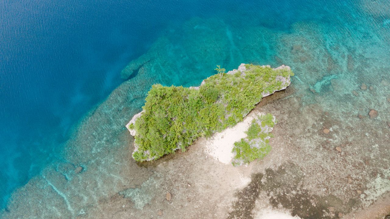
- Monitor shoreline changes with periodic drone flights or satellite imagery.
- Review the boundary whenever you sell or lease the island, ensuring the buyer receives the updated plan.
When to involve a specialist lawyer or notary
Legal professionals are essential when:
- The dispute involves foreshore or public access rights.
- There is a risk of adverse possession claims.
- The parties intend to formalise a settlement through the land registry.
A qualified island-law solicitor can draft the settlement deed, advise on statutory limitations and liaise with the registry.

Further resources for island owners
Many jurisdictions provide online cadastral portals where you can view registered boundaries. Professional bodies such as the International Island Law Association publish guidance on coastal property rights. Always cross-check any online information with a local surveyor or lawyer before relying on it.
This article is general information, not legal, tax or financial advice. Island ownership, taxation and planning rules differ by jurisdiction, so verify every point with a qualified local lawyer, notary, surveyor or tax adviser before you commit.