The short answer is that island owners typically own the land up to the high water mark; the foreshore below that line is retained by the state and remains open to public access. This division determines what you can build, how you control privacy and which duties you owe to visitors.
In practice the split means any structure, pathway or barrier that crosses the high water mark may require permission from the relevant coastal authority, and you cannot prohibit the public from walking on the foreshore unless a specific concession has been granted. Ignoring these limits can lead to enforcement action, loss of permits or costly retro-fitting.
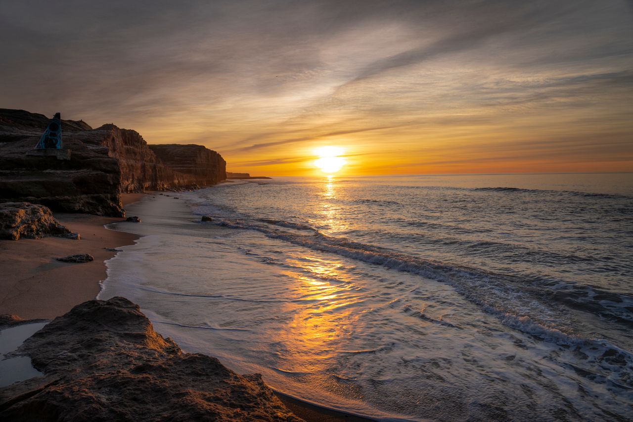
What the high water mark actually means
The high water mark (HWM) is the line the sea reaches at its highest point under normal conditions. It is used in many jurisdictions as the legal boundary between private land and public foreshore. Methods for locating the HWM vary – some rely on historic tide tables, others on physical indicators such as vegetation lines or erosion patterns. Because the line can shift over time due to erosion or accretion, owners should obtain a recent survey to confirm its current position.
Why many beaches are held by the state
Most coastal states adopt a doctrine of public ownership of the foreshore to preserve navigation, fishing rights and public recreation. This principle stems from common-law traditions where the sovereign retained land below the HWM. Modern statutes often codify that principle, stating that the foreshore is a public resource unless a specific concession is granted. The aim is to prevent exclusive monopolies over natural coastal assets and to ensure public enjoyment of the shoreline.
Private beach rights – what you can actually own
If a deed mentions “beach” it usually refers to the land seaward of the HWM that lies within the parcel’s boundaries. Ownership may include sand, dunes and vegetation that sit above the HWM, but not the wet sand that is regularly covered by water. You may erect decks, pergolas or sea-walls on that private portion, provided you obtain the usual planning consents and respect environmental regulations.
Public access below the high water mark
In most jurisdictions the public has a right to walk, fish or launch small craft on the foreshore. This right is non-exclusive and does not permit damage to the environment. Island owners must not erect barriers that impede reasonable access, though signage directing users to stay within the public zone is permissible. Temporary easements for specific activities are possible but are the exception rather than the rule.
Building near the shore – permits and constraints
Construction close to the HWM triggers additional scrutiny. Coastal authorities typically require a detailed environmental impact assessment, a coastal zone management plan and, where relevant, a marine licence. Structures that could affect erosion patterns, sediment transport or marine habitats are especially sensitive. Even when a building sits on private beach land, authorities may impose setbacks measured from the HWM to protect the foreshore.
Foreshore concessions and leases for island owners
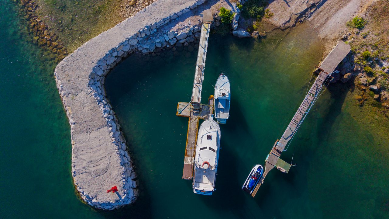
Some jurisdictions allow the state to grant a concession or lease over a portion of the foreshore. These rights are limited in time and purpose – for example, a private dock or a small marina. The concession outlines duties such as maintaining public access, paying annual fees and restoring the area after use. Concessions are recorded in the land registry and can be transferred with the property, but they remain subject to renewal and compliance checks.
Managing privacy and security on a semi-public shoreline
Because the foreshore is open to the public, owners often rely on natural buffers (vegetation, dunes) and design choices (raised walkways, screened areas) to create privacy without infringing on public rights. Surveillance equipment must comply with privacy legislation and cannot be pointed at the public foreshore. Legal advice is essential when drafting any private-use agreements to avoid inadvertently creating a public nuisance.
Common pitfalls for island owners
| Pitfall | Why it occurs | Typical consequence |
|---|---|---|
| Assuming the beach is fully private | Misreading title deeds or informal maps | Enforcement notices, fines or removal of unauthorised structures |
| Building without a setback | Ignoring local coastal zone rules | Project delays, costly redesigns, possible demolition |
| Ignoring a moving high water mark | Not updating surveys after erosion or sea-level change | Dispute over boundaries, loss of private beach area |
| Failing to maintain public access | Installing barriers or restrictive signage | Legal action by coastal authority, reputational damage |
| Overlooking concession obligations | Treating a lease as outright ownership | Penalties, loss of concession or termination |

How to verify your beach and foreshore rights
- Obtain a recent coastal survey that marks the high water mark and any state-owned foreshore.
- Review the title deed and any registered concessions with the local land registry.
- Consult the coastal management authority for applicable setback distances and environmental requirements.
- Engage a qualified solicitor or conveyancer experienced in maritime and property law to interpret the documents.
- If you plan construction, commission an environmental impact assessment before submitting planning applications.
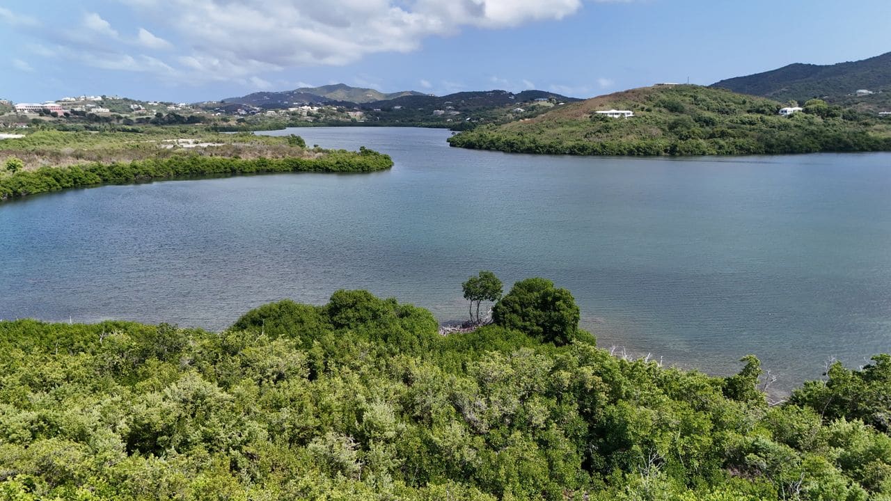
Understanding the Legal Definition of the Foreshore
The foreshore is the land between the high-water mark and the low-water mark. In most jurisdictions it is deemed public land, regardless of who owns the adjacent parcel. Ownership of the beach surface itself is therefore rarely transferred with the sale of a property.
However, the exact line where private ownership ends and public rights begin can differ. Some island statutes treat the high-water mark as the boundary, while others extend private rights to the mean sea level or even to a fixed datum established by historic usage.
Before finalising a purchase, obtain a certified plan that marks the high-water line as it existed at the time of the last official survey. Compare it with the most recent tidal data to spot any recent shoreline migration that could shift the boundary.
Key Checks During Due Diligence
-
Title Search for Foreshore Rights – Request a full title extract that explicitly states whether any foreshore rights have been granted, reserved, or excluded. Look for clauses such as “subject to public right of way” or “with reserved easement for beach access.”
-
Historical Use Evidence – Examine old maps, aerial photographs, and local council minutes. Continuous private use of a strip of sand for decades may have created a prescriptive right, but this is highly jurisdiction-specific.
-
Local Planning and Conservation Orders – Verify whether the island lies within a protected coastal zone, a marine park, or an area subject to a coastal management plan. Such designations can impose additional public access obligations.
-
Utility and Infrastructure Rights – Identify any buried services (water, electricity, sewage) that cross the foreshore. These are often granted by statutory easement and can affect future development plans.
Common Mistakes Made by Buyers
Many purchasers assume that owning the land up to the shoreline automatically gives them exclusive control of the beach. This misconception leads to disputes with local authorities and neighbouring owners.
Another frequent error is neglecting to account for sea-level rise. A property that currently enjoys a wide beach may lose it within a few years, turning what appears to be private foreshore into a public zone.
Finally, buyers sometimes overlook the cost of maintaining public access. In some islands, the owner must fund a maintained pathway, signage, or even a small lifeguard service as part of the public right of way. Ignoring these obligations can create unexpected operating expenses.
Cost Drivers Specific to Foreshore Ownership
-
Survey and Legal Fees – Detailed coastal surveys are more expensive than inland ones because they require tidal data, specialised equipment, and often the presence of a marine engineer.
-
Easement Compensation – If the seller holds a statutory easement for public access, the buyer may need to compensate the seller for the loss of exclusive use, depending on local law.
-
Maintenance Obligations – Some jurisdictions require the landowner to keep the beach safe and clean, which can involve regular dredging, litter removal, and signage.
-
Insurance Premiums – Coastal properties with public access often attract higher liability premiums, especially if the beach is used for water sports or events.
-
Regulatory Fees – Obtaining a coastal development permit can involve application fees, environmental impact assessments, and possible contributions to a coastal management fund.
Questions to Put to Your Lawyer or Surveyor
- What is the exact legal definition of the foreshore in this jurisdiction, and where does the high-water mark lie for this island?
- Are there any historic easements, licences, or prescriptive rights that grant public access to the beach?
- Has the shoreline moved since the last official survey, and how might that affect the property boundary?
- What obligations, if any, does the owner have to maintain public access or safety infrastructure on the beach?
- Are there any pending or future coastal management plans that could restrict private use of the foreshore?
- What are the tax implications of owning a foreshore parcel, particularly regarding council rates or special coastal levies?
A Practical Checklist for Prospective Island Buyers
- Obtain a recent, certified coastal survey showing the high-water mark.
- Request a full title extract with all easements and rights of way noted.
- Review historic maps and aerial imagery for evidence of long-term private use.
- Confirm the island’s status within any marine protected area or coastal management zone.
- Ask the seller for copies of any existing maintenance agreements for the beach.
- Verify liability and property insurance costs that cover public beach access.
- Seek a written opinion from a solicitor on the enforceability of any foreshore rights.
- Budget for potential future shoreline migration and associated legal adjustments.
Following these steps helps ensure that the beach in front of your prospective island is understood in legal terms, that hidden obligations are identified early, and that you can negotiate a purchase price that reflects the true value of both land and foreshore rights.
Frequently asked questions
Is the beach in front of my island property automatically private?
No. Ownership generally stops at the high water mark. Anything seaward of that line is usually state-owned and open to public use unless a specific concession has been granted.
Can I stop people from walking on the foreshore below the high water mark?
You may not erect barriers that prevent reasonable public access. You can place signage directing users to stay within the public zone and, in exceptional cases, negotiate limited-purpose easements.
What is a foreshore concession and how does it differ from ownership?
A concession is a time-limited right granted by the state to use a portion of the foreshore for a defined purpose, such as a private dock. Ownership confers full title to the land, whereas a concession remains subject to renewal, fees and compliance conditions.
How does sea-level rise affect my beach ownership?
If the high water mark moves inland, the area of private beach may shrink and the state-owned foreshore may expand. Regular surveys are essential to track these changes and adjust any development plans.
Do I need special permits to build a deck that extends over the water?
Yes. Even if the deck starts on private beach land, any part that projects over the foreshore typically requires a marine licence and compliance with coastal setback regulations.
This article is general information, not legal, tax or financial advice. Island ownership, taxation and planning rules differ by jurisdiction, so verify every point with a qualified local lawyer, notary, surveyor or tax adviser before you commit.